
Topografische kaart Qatana
Interactieve kaart
Klik op de kaart om de hoogte weer te geven.
Over deze kaart
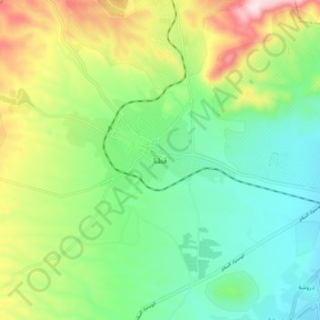
Naam: Topografische kaart Qatana, hoogte, reliëf.
Locatie: Qatana, Rif Dimashq, Syria (33.39231 36.04540 33.47231 36.12540)
Gemiddelde hoogte: 914 m
Minimale hoogte: 780 m
Maximale hoogte: 1.180 m