
Topografische kaart Blythe
Interactieve kaart
Klik op de kaart om de hoogte weer te geven.
Over deze kaart
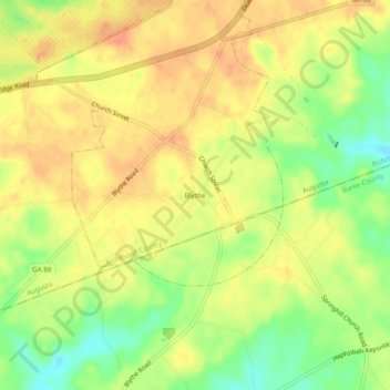
Naam: Topografische kaart Blythe, hoogte, reliëf.
Locatie: Blythe, Richmond County, Georgia, 30805, United States (33.27264 -82.22151 33.31264 -82.18151)
Gemiddelde hoogte: 134 m
Minimale hoogte: 108 m
Maximale hoogte: 150 m