
Topografische kaart Mammoth Lakes
Interactieve kaart
Klik op de kaart om de hoogte weer te geven.
Mammoth Lakes
Mammoth Lakes is a town in Mono County, California, the county's only incorporated community. It is located immediately to the east of Mammoth Mountain, at an elevation of 7,880 feet (2,400 m). As of the 2010 United States Census, the population was 8,234, reflecting a 16% increase from the 2000 Census.
Over deze kaart
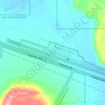
Naam: Topografische kaart Mammoth Lakes, hoogte, reliëf.
Gemiddelde hoogte: 2.184 m
Minimale hoogte: 2.154 m
Maximale hoogte: 2.312 m