
Topografische kaart Las Palmitas
Interactieve kaart
Klik op de kaart om de hoogte weer te geven.
Over deze kaart
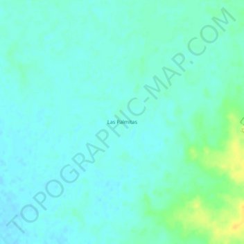
Naam: Topografische kaart Las Palmitas, hoogte, reliëf.
Locatie: Las Palmitas, Santa Ana, Magdalena, Colombia (9.48559 -74.31926 9.52559 -74.27926)
Gemiddelde hoogte: 48 m
Minimale hoogte: 42 m
Maximale hoogte: 67 m