
Topografische kaart Astrakhan
Interactieve kaart
Klik op de kaart om de hoogte weer te geven.
Over deze kaart
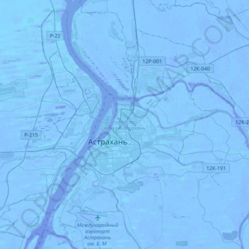
Naam: Topografische kaart Astrakhan, hoogte, reliëf.
Gemiddelde hoogte: -21 m
Minimale hoogte: -30 m
Maximale hoogte: -6 m
Astrakhan (Russian: Астрахань, tr. Astrakhan', IPA: ; Tatar: Cyrillic Әстерхан, Latin Ästerxan) is the largest city and administrative centre of Astrakhan Oblast in Southern Russia. The city lies on two banks of the Volga, in the upper part of the Volga Delta, on eleven islands of the Caspian Depression, 60 miles (100 km) from the Caspian Sea, with a population of over 529,739 residents. At an elevation of 28 meters (92 ft) below sea level, it is the lowest city in Russia.
Andere topografische kaarten
Klik op een kaart om zijn topografie, zijn hoogte en zijn reliëf te bekijken.
Astrakhan
Russia > Astrakhan Oblast > Astrakhan
Astrakhan, Astrakhan Oblast, South Federal District, 414000, Russia
Gemiddelde hoogte: -21 m