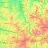
Topografische kaart Plenty River
Klik op de kaart om de hoogte weer te geven.
Over deze kaart

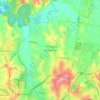
Naam: Topografische kaart Plenty River, hoogte, reliëf.
Locatie: Plenty River, Melbourne, Victoria, Australia (-37.74899 145.08345 -37.42393 145.17330)
Gemiddelde hoogte: 214 m
Minimale hoogte: 18 m
Maximale hoogte: 791 m
Andere topografische kaarten
Klik op een kaart om zijn topografie, zijn hoogte en zijn reliëf te bekijken.





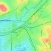


Gilbertsons Grassland Nature Conservation Reserve
Australia > Victoria > Melbourne
Gemiddelde hoogte: 36 m

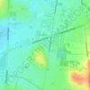

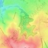
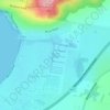

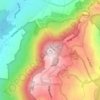
Mount Dandenong
Australia > Victoria > Melbourne
Mount Dandenong has a cool oceanic climate (Cfb), with cool to mild summers and cold, damp winters. Daytime temperatures are usually 4−6 °C cooler than downtown Melbourne due to its elevation and distance from the urban heat island effect of Melbourne. It is significantly cloudier than Melbourne,…
Gemiddelde hoogte: 395 m















Langwarrin Flora and Fauna Reserve
Australia > Victoria > Melbourne > Langwarrin
Gemiddelde hoogte: 90 m




Narre Warren North Retarding Basin (Melbourne Water)
Australia > Victoria > Melbourne
Gemiddelde hoogte: 76 m