
Topografische kaart Schofield Barracks
Interactieve kaart
Klik op de kaart om de hoogte weer te geven.
Schofield Barracks
Schofield Barracks has a tropical savanna climate. Owing to a higher elevation, Schofield is slightly cooler year round than Honolulu, but is still well within the realms of a tropical climate. Precipitation patterns closely resemble those of mediterranean climates being found in mainland California, but its warm winters prevents the climate from being classified as such.
Over deze kaart
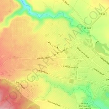
Naam: Topografische kaart Schofield Barracks, hoogte, reliëf.
Gemiddelde hoogte: 279 m
Minimale hoogte: 182 m
Maximale hoogte: 353 m
Andere topografische kaarten
Klik op een kaart om zijn topografie, zijn hoogte en zijn reliëf te bekijken.