
Topografische kaart Elephant Pound Rajaji National park Uttrakhand
Interactieve kaart
Klik op de kaart om de hoogte weer te geven.
Over deze kaart
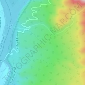
Naam: Topografische kaart Elephant Pound Rajaji National park Uttrakhand, hoogte, reliëf.
Gemiddelde hoogte: 455 m
Minimale hoogte: 328 m
Maximale hoogte: 774 m