
Topografische kaart Latitude Margaritaville
Interactieve kaart
Klik op de kaart om de hoogte weer te geven.
Over deze kaart
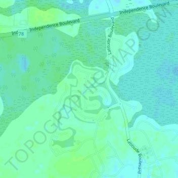
Naam: Topografische kaart Latitude Margaritaville, hoogte, reliëf.
Gemiddelde hoogte: 4 m
Minimale hoogte: -2 m
Maximale hoogte: 8 m
Andere topografische kaarten
Klik op een kaart om zijn topografie, zijn hoogte en zijn reliëf te bekijken.
Hilton Head Lakes North
United States > South Carolina > Jasper County > Hardeeville
Hilton Head Lakes North, Hardeeville, Jasper County, South Carolina, United States
Gemiddelde hoogte: 3 m
Sun City
United States > South Carolina > Jasper County > Hardeeville
Sun City, Hardeeville, Jasper County, South Carolina, 29909, United States
Gemiddelde hoogte: 6 m