
Topografische kaart The Municipal District of Enniscorthy
Interactieve kaart
Klik op de kaart om de hoogte weer te geven.
Over deze kaart
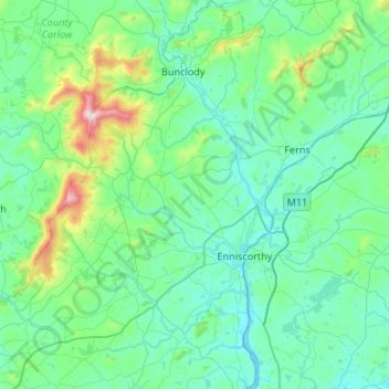
Naam: Topografische kaart The Municipal District of Enniscorthy, hoogte, reliëf.
Gemiddelde hoogte: 108 m
Minimale hoogte: -1 m
Maximale hoogte: 789 m