
Topografische kaart Perkins
Interactieve kaart
Klik op de kaart om de hoogte weer te geven.
Over deze kaart
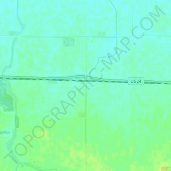
Naam: Topografische kaart Perkins, hoogte, reliëf.
Locatie: Perkins, Newton County, Indiana, United States (40.75504 -87.37308 40.77504 -87.35308)
Gemiddelde hoogte: 211 m
Minimale hoogte: 205 m
Maximale hoogte: 221 m
Andere topografische kaarten
Klik op een kaart om zijn topografie, zijn hoogte en zijn reliëf te bekijken.
Morocco
United States > Indiana > Newton County
Morocco, Newton County, Indiana, 47963, United States
Gemiddelde hoogte: 211 m
Lake Village
United States > Indiana > Newton County
Lake Village, Newton County, Indiana, 46349, United States
Gemiddelde hoogte: 201 m
Goodland
United States > Indiana > Newton County > Goodland
Goodland, Newton County, Indiana, United States
Gemiddelde hoogte: 222 m
Iroquois River
United States > Indiana > Newton County
Iroquois River, Newton County, Indiana, 60970, United States
Gemiddelde hoogte: 201 m