
Topografische kaart Bulls Island
Interactieve kaart
Klik op de kaart om de hoogte weer te geven.
Over deze kaart
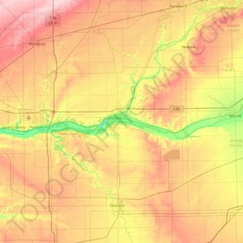
Naam: Topografische kaart Bulls Island, hoogte, reliëf.
Locatie: Bulls Island, Ottawa, LaSalle County, Illinois, 61350, USA (41.02087 -89.14063 41.66087 -88.50063)
Gemiddelde hoogte: 202 m
Minimale hoogte: 117 m
Maximale hoogte: 290 m