
Topografische kaart Barton County
Interactieve kaart
Klik op de kaart om de hoogte weer te geven.
Over deze kaart
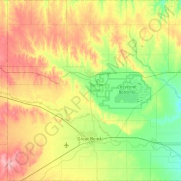
Naam: Topografische kaart Barton County, hoogte, reliëf.
Locatie: Barton County, Kansas, VS (38.26030 -99.03337 38.69722 -98.48089)
Gemiddelde hoogte: 578 m
Minimale hoogte: 532 m
Maximale hoogte: 651 m
Andere topografische kaarten
Klik op een kaart om zijn topografie, zijn hoogte en zijn reliëf te bekijken.