
Topografische kaart Ozark Plateau
Interactieve kaart
Klik op de kaart om de hoogte weer te geven.
Over deze kaart
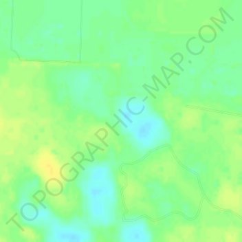
Naam: Topografische kaart Ozark Plateau, hoogte, reliëf.
Locatie: Ozark Plateau, Coburn Loop, Clark County, Arkansas, VS (34.00033 -93.00050 34.00043 -93.00040)
Gemiddelde hoogte: 51 m
Minimale hoogte: 40 m
Maximale hoogte: 61 m
Andere topografische kaarten
Klik op een kaart om zijn topografie, zijn hoogte en zijn reliëf te bekijken.
Springdale
VS > Arkansas > Springdale
Springdale, Washington County, Arkansas, VS
Gemiddelde hoogte: 398 m