
Topografische kaart Thousand Islands National Park (Mallorytown Landing)
Interactieve kaart
Klik op de kaart om de hoogte weer te geven.
Over deze kaart
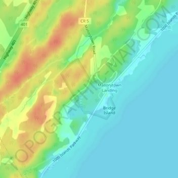
Naam: Topografische kaart Thousand Islands National Park (Mallorytown Landing), hoogte, reliëf.
Gemiddelde hoogte: 89 m
Minimale hoogte: 72 m
Maximale hoogte: 116 m