
Topografische kaart Hawaiʻi Volcanoes National Park/Kahuku Ranch Cooperative Nene Sanctuary
Interactieve kaart
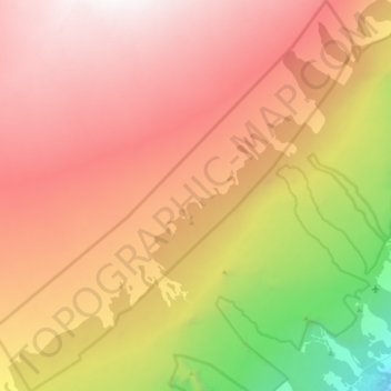
Klik op de kaart om de hoogte weer te geven.
Over deze kaart
Naam: Topografische kaart Hawaiʻi Volcanoes National Park/Kahuku Ranch Cooperative Nene Sanctuary, hoogte, reliëf.
Gemiddelde hoogte: 1.910 m
Minimale hoogte: 240 m
Maximale hoogte: 3.169 m