
Topografische kaart Sable Island
Interactieve kaart
Klik op de kaart om de hoogte weer te geven.
Over deze kaart
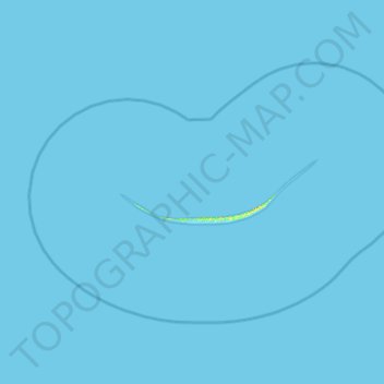
Naam: Topografische kaart Sable Island, hoogte, reliëf.
Gemiddelde hoogte: 0 m
Minimale hoogte: -6 m
Maximale hoogte: 18 m
Andere topografische kaarten
Klik op een kaart om zijn topografie, zijn hoogte en zijn reliëf te bekijken.
Sable Island National Park Reserve.
Canada > Nova Scotia > Sable Island
Sable Island National Park Reserve., Sable Island, Halifax Regional Municipality, Nova Scotia, Canada
Gemiddelde hoogte: 0 m