
Topografische kaart 延安市
Interactieve kaart
Klik op de kaart om de hoogte weer te geven.
Over deze kaart
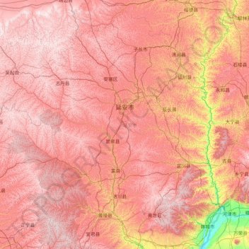
Naam: Topografische kaart 延安市, hoogte, reliëf.
Locatie: 延安市, Shaanxi, China (35.35145 107.65051 37.49958 110.54643)
Gemiddelde hoogte: 1.186 m
Minimale hoogte: 355 m
Maximale hoogte: 1.819 m
Andere topografische kaarten
Klik op een kaart om zijn topografie, zijn hoogte en zijn reliëf te bekijken.